Cart
0
$0.00

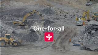
Leica Geosystems delivers an intelligent and intuitive hardware and software combination for the heavy construction industry - the new all-in-one machine control platform consisting of a panel, MCP80, and docking station combined with a new application software, MC1, supports multiple machines for heavy construction. The MCP80 panel displays...

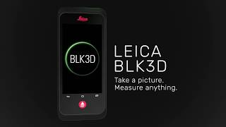
The Leica BLK3D is a real-time, in-picture 3D measurement solution. By combining measurement sensors, software, and on-device edge data processing capabilities, the Leica BLK3D makes in-picture measurements with professional-grade accuracy in real-time possible. Every image captured is a complete and precise 3D measurement record.

Leica RTC360: A new approach to Terrestrial Laser ScanningWhite Paper3D Reality Captureleica-geosystems.

The BLK2GO handheld imaging laser scanner recreates spaces in 3D as you move. It captures images and dimensionally accurate point clouds in real-time and uses SLAM technology to record your trajectory through space.